
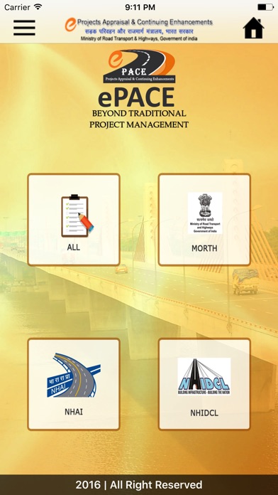

ePACE (Projects Appraisal & Continuing Enhancements), a web based system designed to go beyond “Traditional Project Management” tools which allows role-based access to its users. Such users are government entities like Ministry of Road Transport & Highways, National Highways & Infrastructure Development Corporation Limited etc. whose roles have been laid out through a “Data Capture Hierarchy”.
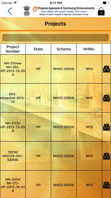
The Data Capture Hierarchy allows entry of infrastructure project static information at the top level while the project execution details are entered at the bottom level. The static data entry relates to capture of basic, technical, financial, and approval details of that particular project. Once this information is entered, the system generates a sanction letter thereby helping in automating the business workflow. Depending upon whether the work is in pre-project stage or post-project stage, the salient information pertaining to the bid process is also captured. The capturing of the bid process is also so designed that it transcends all stages of bid stage management starting from the issuance of tender notice to the evaluation of technical & financial bids and ultimately leading to the issuance of the letter of award. The system also provides for automated generation of the letter of award once the entire information related to the tender is entered.
After the project reaches the contract stage, the salient quantifiable information pertaining to the contract is entered. In order to accurately estimate the physical progress of the project, all work components of the projects/items are entered at this stage. This is done so that it becomes a benchmark for estimating the physical progress of the work. The static entry (one time entry)is done at the highest level and the same then remains frozen during the life cycle of the project, unless and until revised. In order to ensure sanctity of the data, only the top management enters the static data. The remaining information is captured at the field level. This information is in the form of entry of physical and, financial execution details among others. The portal also facilitates uploading of images and videos pertaining to the project progress.
A plethora of algorithms have been embedded into the system by means of which the aforementioned data is processed to obtain reports in various desired formats. Such reports not only track the award of works during a particular period but also bring out the completed lengths during that period. The exact physical progress is also obtainable and available in various reports.
The portal provides a Dashboard view for every project, and an integrated Dashboard for various programmes, schemes, states and agencies within the MoRTH. The portal has GIS/Google Maps integration by means of which individual projects can be located on the country map using exact location markers. This has been designed to provide a tool for proper planning of road projects and filling in gaps, wherever necessary. A search engine has also been created with multiple fields of queries to get reports in various customized formats as required by the various stakeholders.
Further, all such reports have also been kept in public domain to facilitate a web-based user-friendly access to the salient features as well as the status of physical and financial progress of the various projects. This enables elimination of information asymmetry and helps in dissemination of correct information regarding various projects to the public representatives and to the citizens at large.